
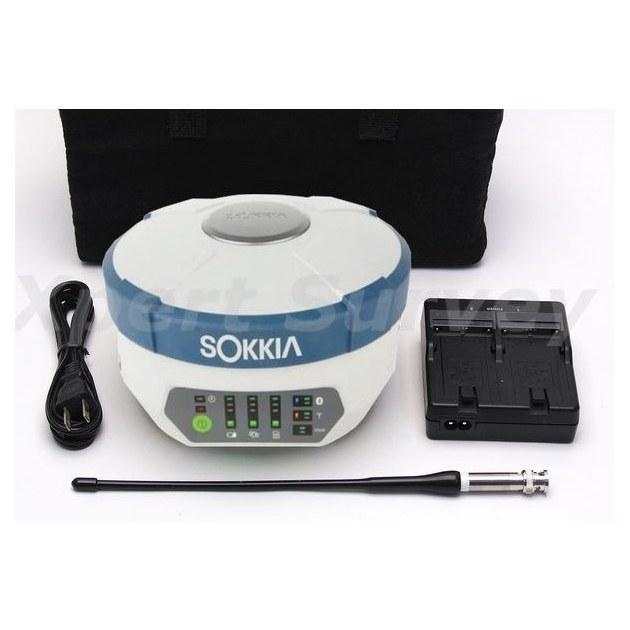
 SokkiaGRX1
Sokkia GRX1 GNSS Receiver
Base and rover RTK in a single housing. Topographic pickup and stakeout across a large site without dragging a total station around it.
Request Quote
Surveying Instruments & Construction Machinery
Surveying & Positioning
The full Kolida RTK range, RUIDE laser RTK, handheld 3D scanning, mapping drones and field controllers.
16 products
SokkiaGRX1Base and rover RTK in a single housing. Topographic pickup and stakeout across a large site without dragging a total station around it.
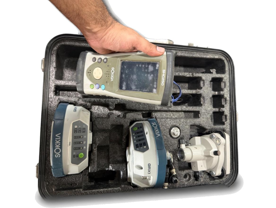 SokkiaSHC250
The rugged handheld that drives the GRX1. Sunlight readable, sealed, and it survives being dropped off a tailgate.
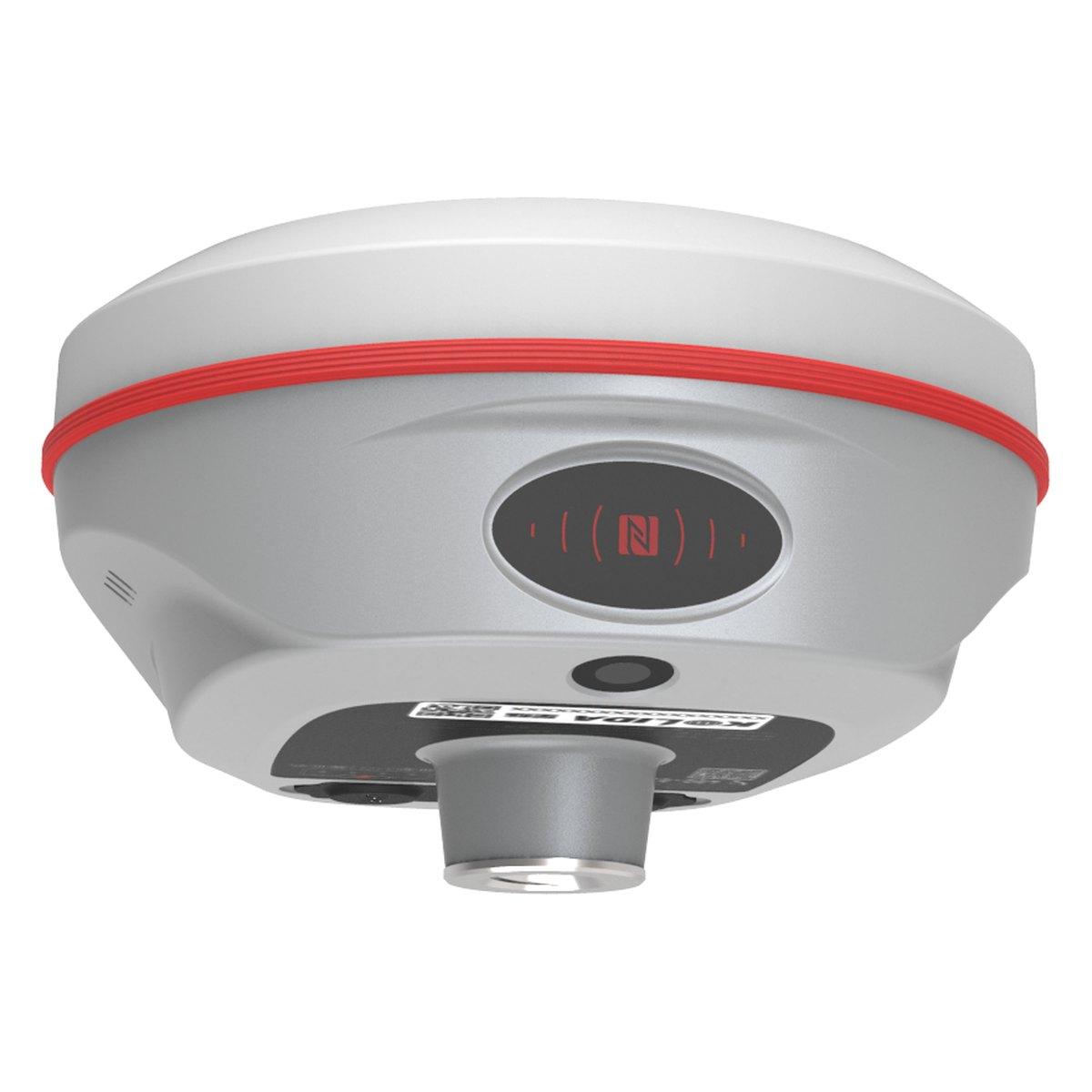 KolidaK6
1598 channels in an 800 gram housing, with a calibration free IMU that lets you tilt the pole up to sixty degrees and still hit two centimetres.
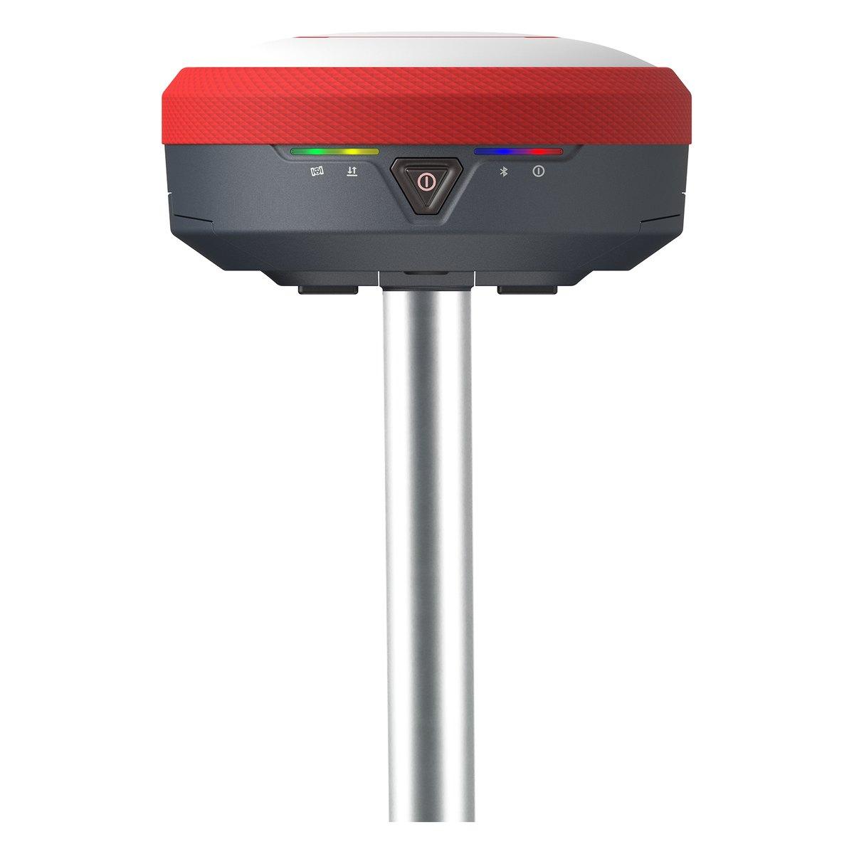 KolidaK7
Two hot swappable batteries, so the rover runs fifteen to twenty hours and you change one without shutting the receiver down.
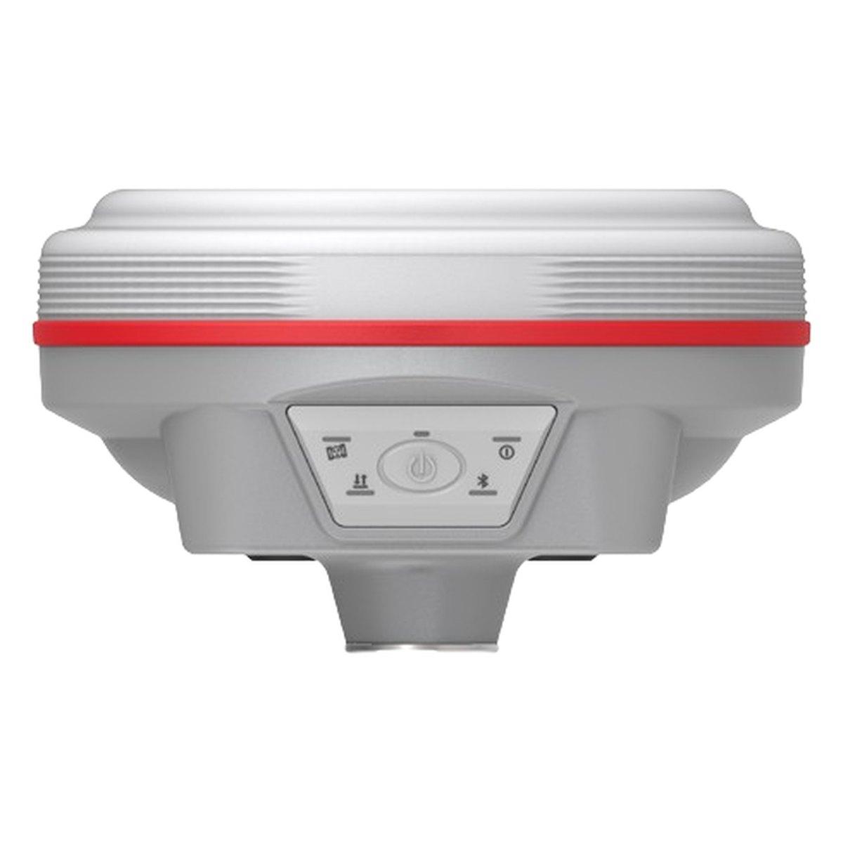 KolidaK9s
1698 channels, 790 grams and twenty five hours in rover mode. The long day receiver.
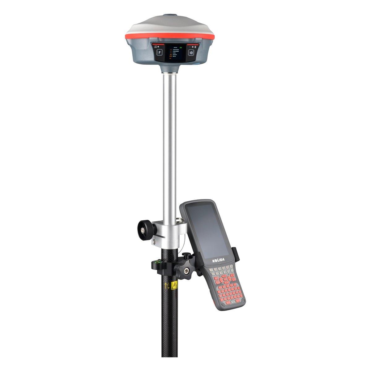 KolidaK30 Pro
A three watt radio that reaches ten to fifteen kilometres, and Star-Link correction for the sites where there is no base and no network.
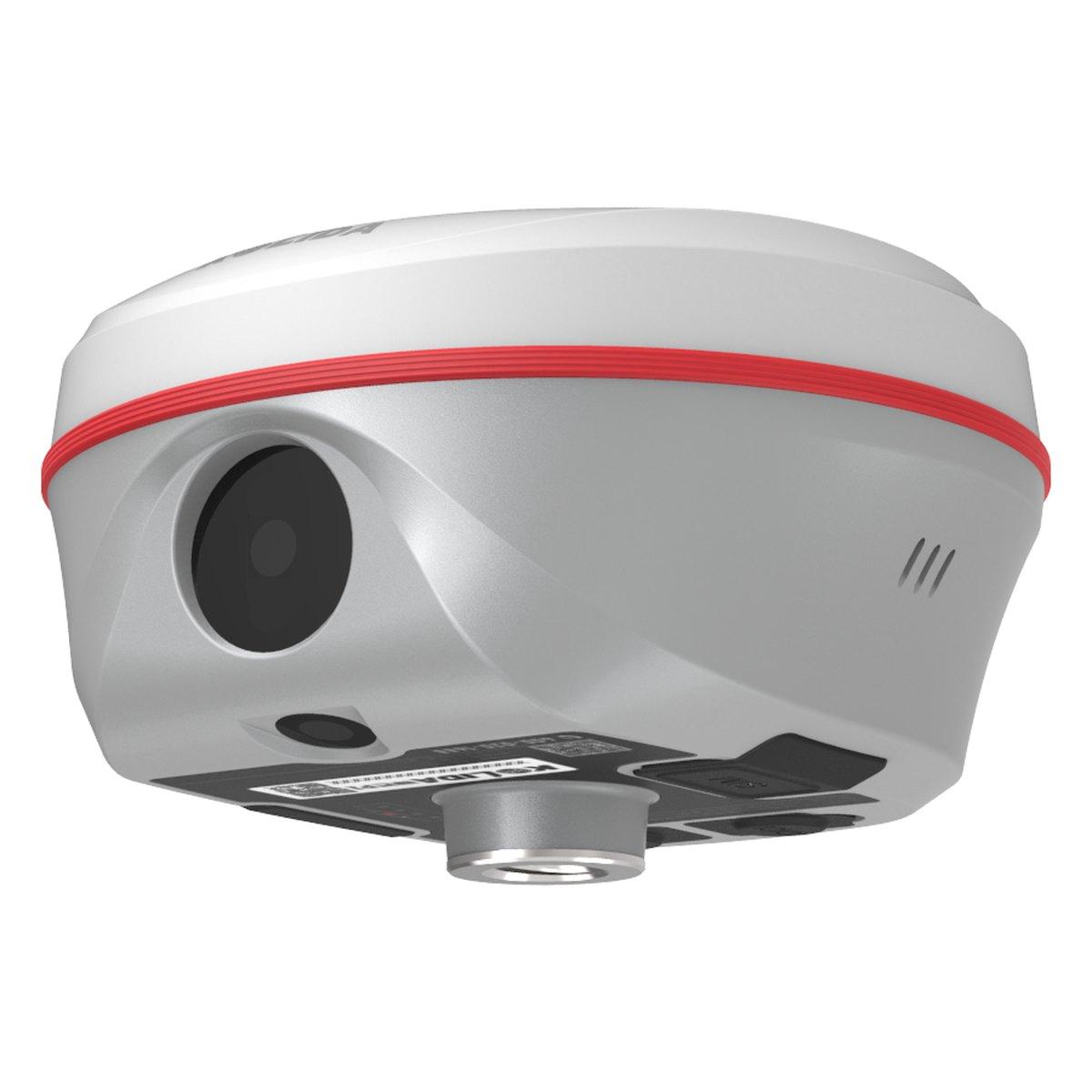 KolidaK50 / K50X
Two cameras, an electronic bubble on the controller and a UHF link that holds out to fifteen kilometres in clear conditions.
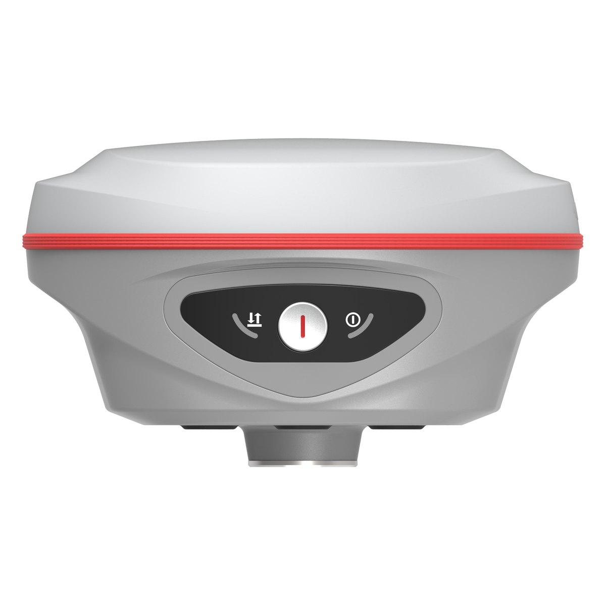 KolidaK60
The current mainstream rover in the Kolida line, with a front panel display so you can read the fix without pulling the controller out.
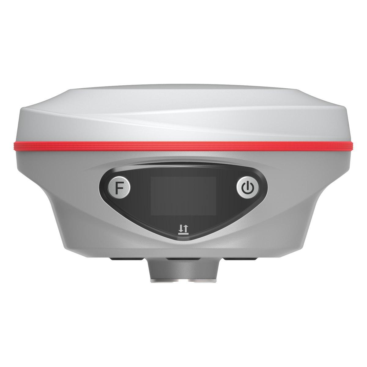 KolidaK60 Pro
The K60 with the longer range radio and the larger status display. Ask us for the current datasheet before you specify it.
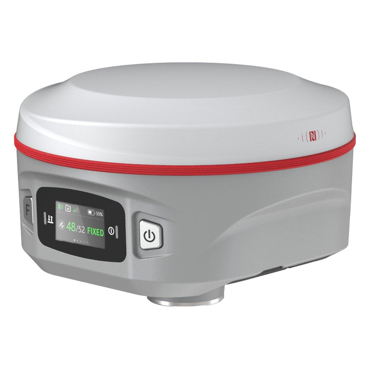 KolidaK60 MAX
Top of the K60 family, with a colour status screen on the housing showing satellites, fix and battery at a glance.
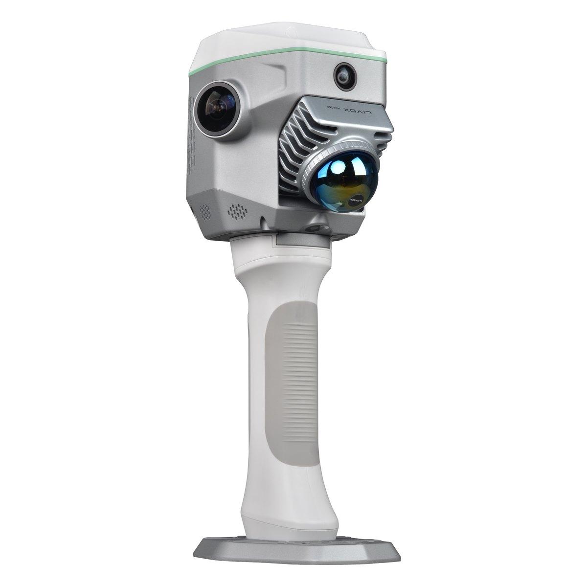 KolidaSLAM RTK ME
An RTK rover and a 3D laser scanner in one handheld unit. Walk the site once and come back with both survey points and a point cloud.
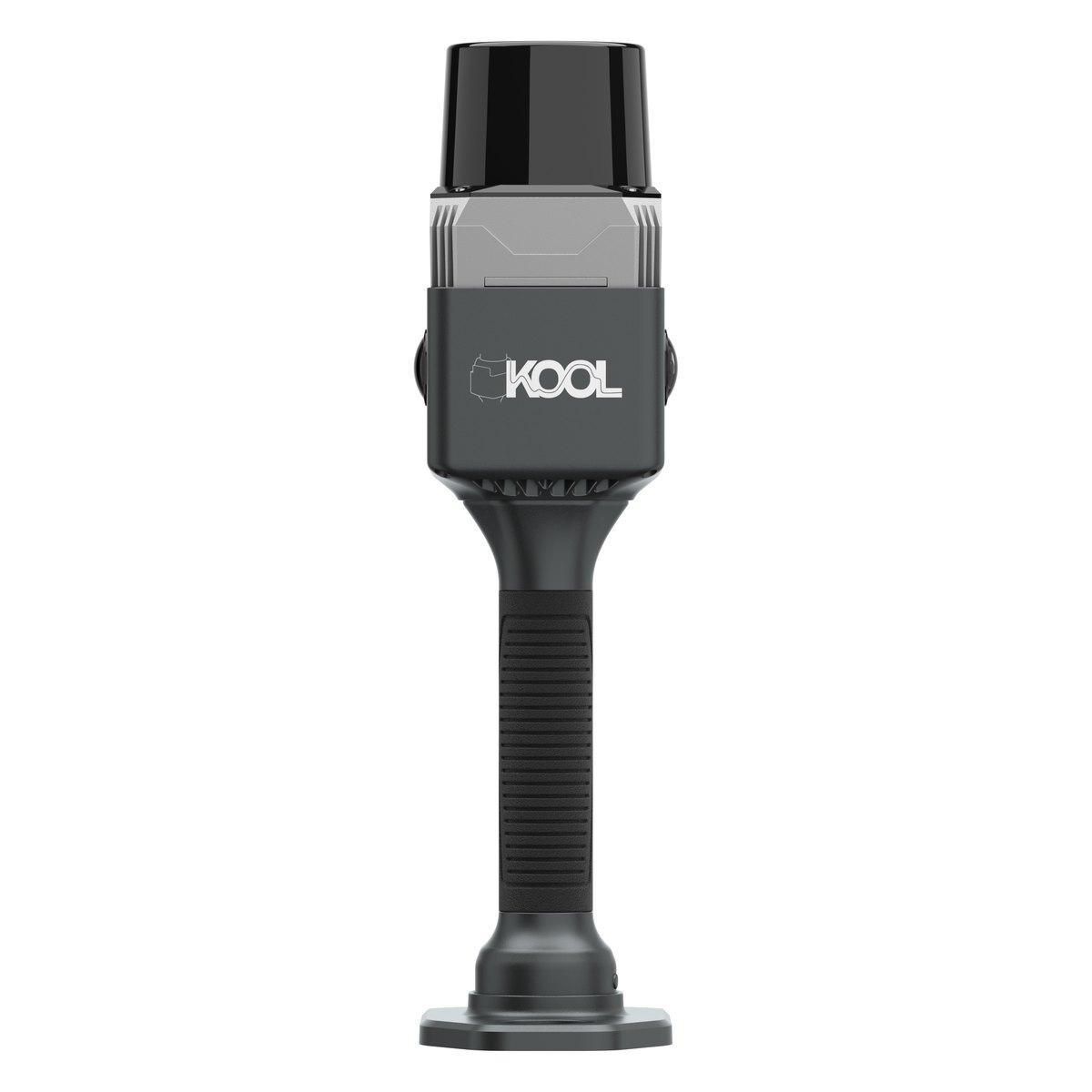 KolidaKOOL
A handheld SLAM scanner for interiors, basements, tunnels and anywhere a GNSS receiver is deaf. Walk it through and it builds the point cloud as you go.
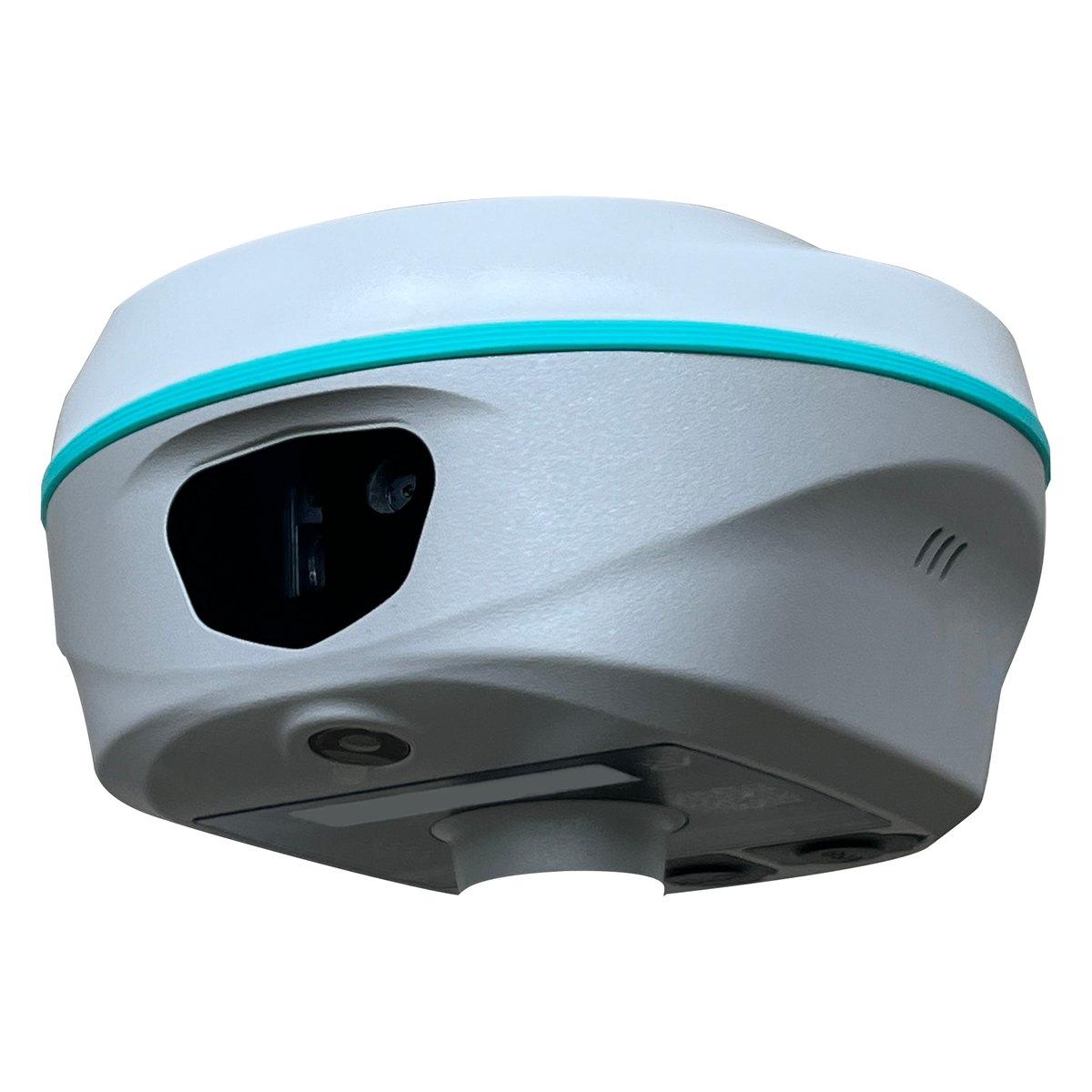 RUIDERAMA1
Laser RTK: a visible laser pointer under the receiver measures to the point, so you can pick up a corner you cannot physically stand the pole on.
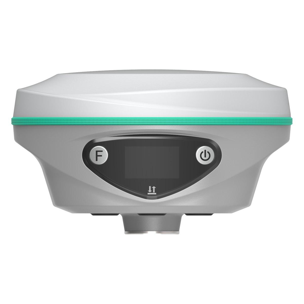 RUIDERAMA2
The second generation laser RTK, with a longer measuring range and a front panel display.
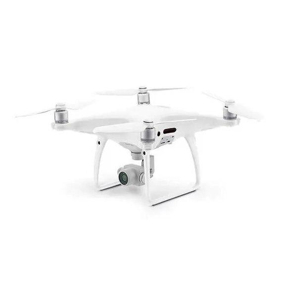
RTK mapping UAVs for orthomosaics, terrain models and volumetrics. We fly them ourselves, and we supply them.
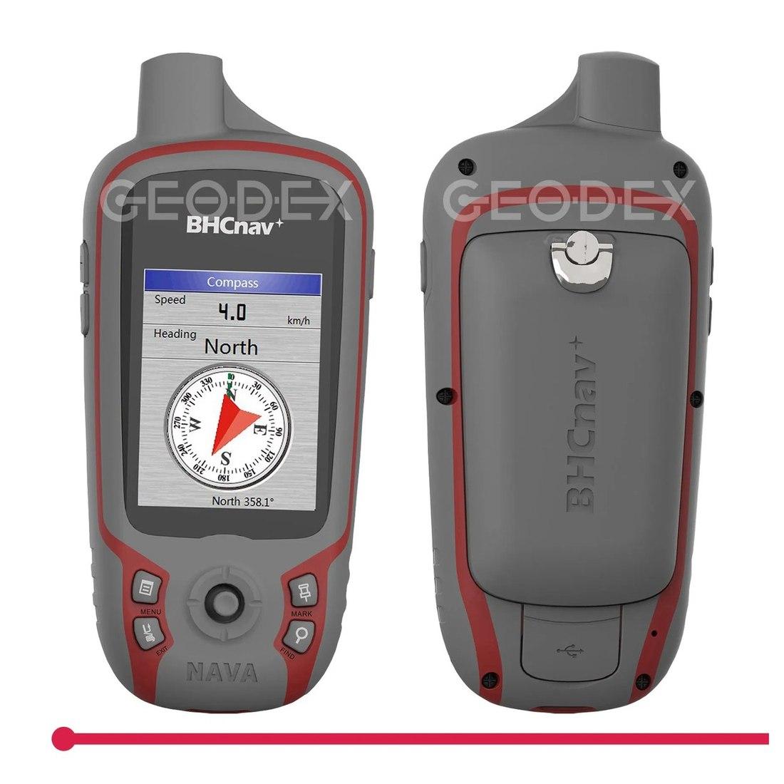
Metre level navigation and point collection for reconnaissance, boundary walking and exploration traverses.
More in Surveying & Positioning
Get in touch
Send us the details and we will come back with equipment recommendations, availability and pricing. No obligation.