
What we do
Survey services, delivered to specification
Six disciplines, one accountable team, backed by two decades of fieldwork.
Service 01
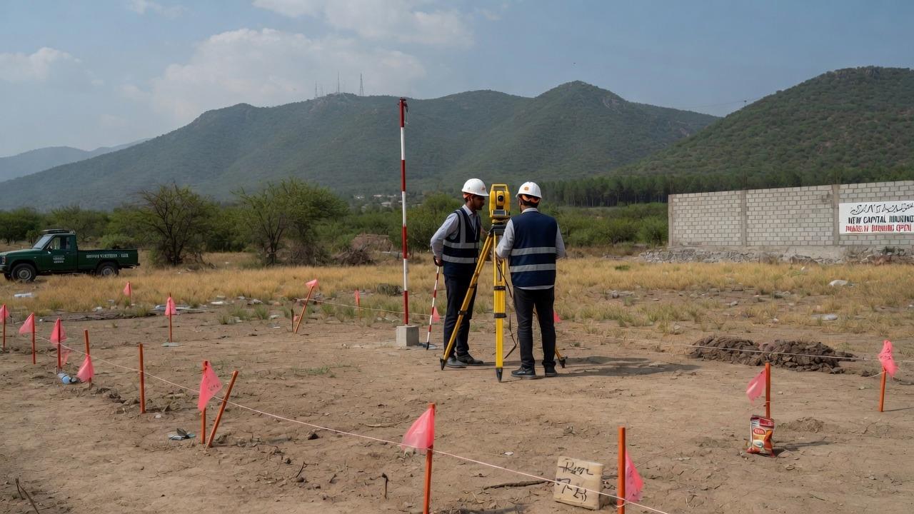
Topographic Survey
Precise ground and contour mapping for design, planning and earthwork estimation.
We capture the exact shape of your site, levels, contours, boundaries, existing structures and services, and deliver it as survey grade drawings your design team can build from. Every job is controlled against established benchmarks and checked before handover.
Enquire about this service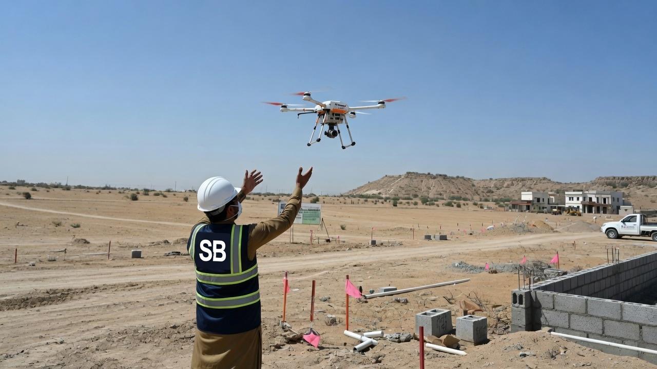
Service 02
Photogrammetry Drone Survey
UAV aerial capture producing orthomosaics, DSMs and volumetric measurement.
Our UAV teams cover large or difficult sites in a fraction of the time of conventional methods. Output includes high resolution orthomosaic imagery, digital surface and terrain models, contour data and accurate stockpile volumes, all georeferenced to your project control.
Enquire about this service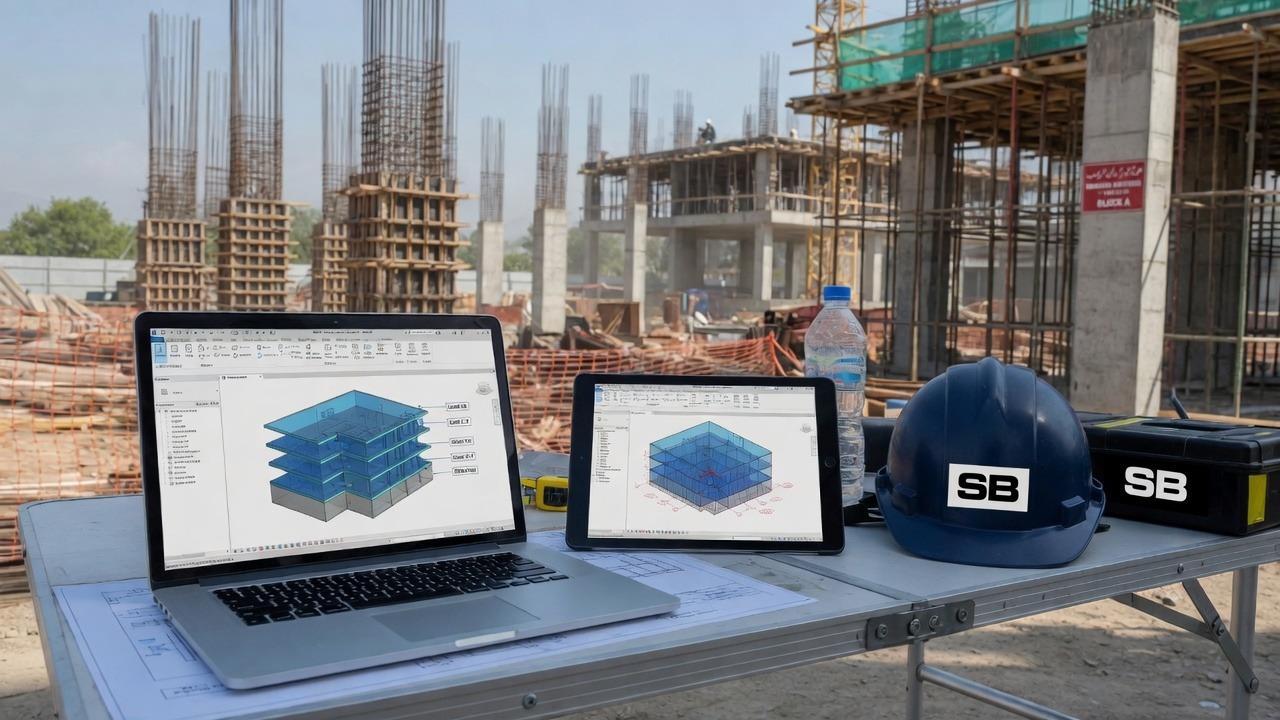
Service 03
Digital Twin / BIM Modeling
Intelligent 3D models that mirror the physical asset for design and lifecycle management.
We convert reality capture data into structured, intelligent 3D models. BIM deliverables suit design coordination, clash detection, quantity take off and long term facility management, supplied at the level of detail your project requires.
Enquire about this service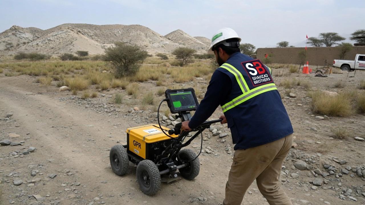
Service 04
Geophysical Survey
Non-invasive subsurface investigation using ERS and Ground Penetrating Radar.
Electrical Resistivity Survey and Ground Penetrating Radar let us see below ground without excavation, locating utilities, voids, bedrock depth, groundwater and buried structures before they become costly surprises on site.
Enquire about this serviceService 05
Underground Water Detection
Natural field profiling to locate groundwater and pick a borehole position before you drill.
A dry borehole is an expensive way to find out the water was forty metres to the left. We run natural electric field profiling across the site, render the apparent resistivity as a section, and mark the position and the depth to drill to. The same instruments are available to buy if you would rather run the survey yourself.
Enquire about this service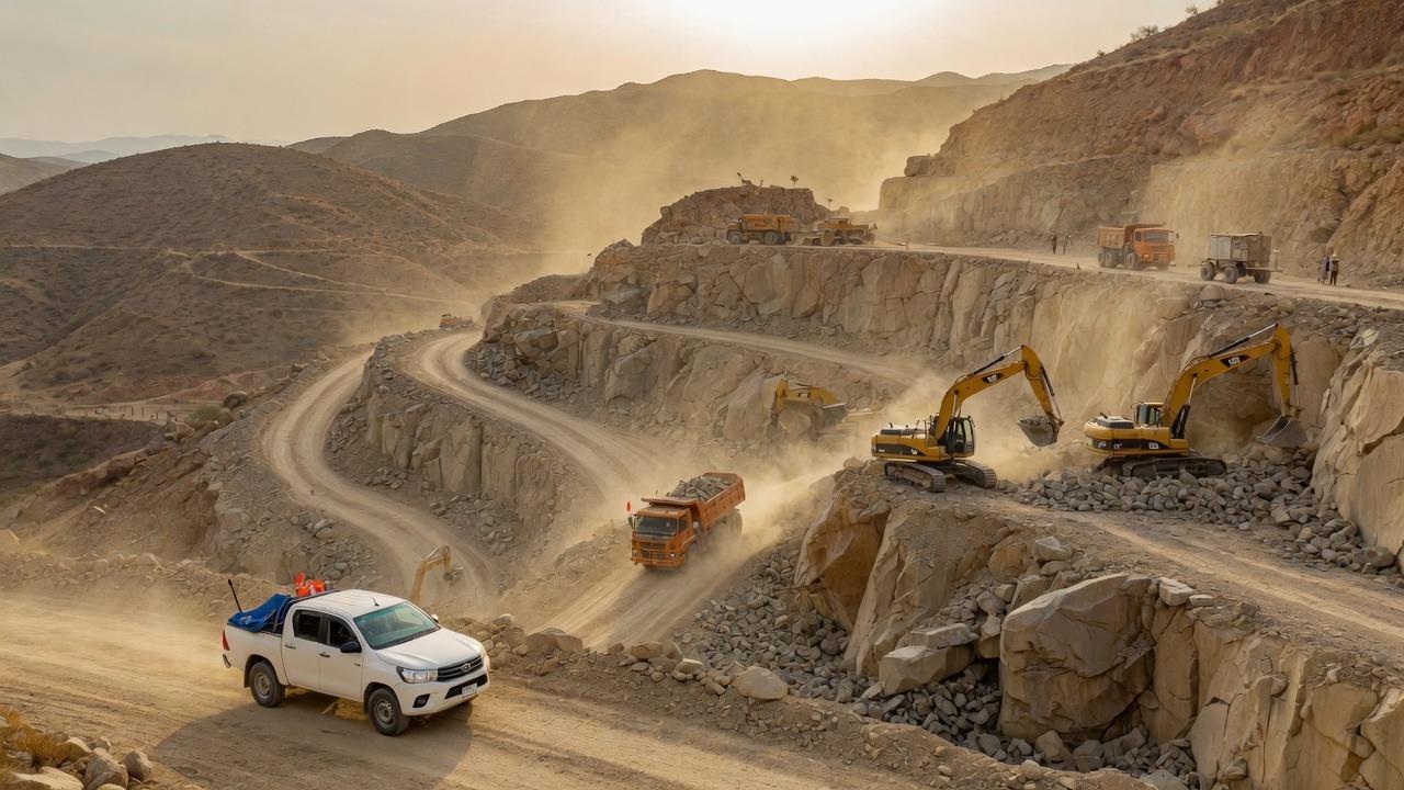
Service 06
Mining & Minerals Exploration
Survey and mapping support for locating and evaluating mineral resources.
We support exploration programmes with detailed topographic and geophysical survey, pit and stockpile volumetrics, haul road design support and ongoing progress monitoring across the life of the operation.
Enquire about this service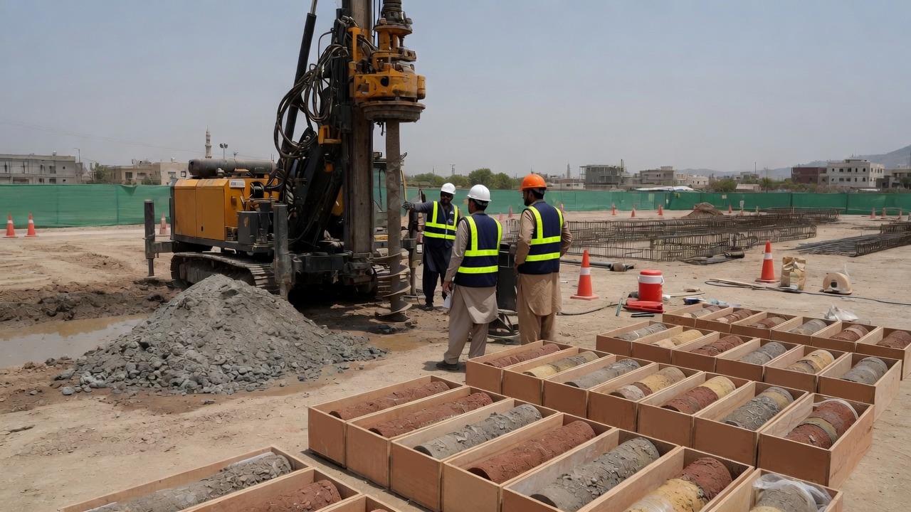
Service 07
Geotechnical Survey
Ground investigation and soil analysis to inform safe foundation design.
Our geotechnical work characterises the ground your project will sit on: soil profiling, bearing capacity, settlement behaviour and slope stability, delivered as clear reporting your structural engineers can design against.
Enquire about this serviceService 08
Calibration & Repair
Bench service, calibration and spares for total stations, levels and GNSS gear, whoever you bought it from.
We have a service bench, not just a counter. Collimation and compensator checks, tribrach adjustment, battery and charger replacement, and calibration certificates for instruments going onto a job that asks for one. Bring in equipment you bought elsewhere and we will still look at it.
Enquire about this serviceGet in touch
Tell us what your project needs
Send us the details and we will come back with equipment recommendations, availability and pricing. No obligation.