
Kolida
Kolida SLAM RTK ME
An RTK rover and a 3D laser scanner in one handheld unit. Walk the site once and come back with both survey points and a point cloud.
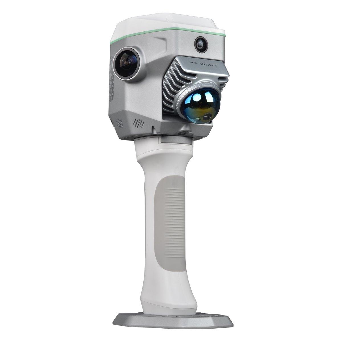
Model SLAM RTK ME
Kolida SLAM RTK ME
This is the instrument that changes how a topographic pickup is done. A Livox Mid-360 scanner and three cameras on top of a 1698 channel RTK, so the SLAM solution is anchored to real coordinates instead of drifting, and loop closure stops being something you plan the walk around. Scanning range runs to seventy metres, relative accuracy is inside ten millimetres, and with RTK enabled outdoors the absolute result lands at three to five centimetres.
- Type
- RTK rover and 3D scanning hybrid
- Weight
- 1.38 kg
- Cameras
- 12 MP x2 left and right, 8 MP forward, 2 MP downward for GNSS
- Channels
- 1698
- GNSS RTK
- Horizontal 8 mm + 1 ppm, vertical 15 mm + 1 ppm RMS
- Endurance
- Internal battery 0.5 h, handgrip battery 2 h
- GNSS static
- Horizontal 2.5 mm + 0.1 ppm, vertical 3.5 mm + 0.4 ppm RMS
- IMU refresh
- 200 Hz
- Range noise
- Approximately 5 to 20 mm
- Loop closure
- Free when RTK is enabled outdoors
- Laser scanner
- Livox Mid-360
- Scanning range
- 0.1 to 70 m (70 m at 80% reflectivity)
- Absolute accuracy
- 3 to 5 cm with onboard RTK
- Relative accuracy
- 10 mm or better
Currently in stock
Get in touch
Tell us what your project needs
Send us the details and we will come back with equipment recommendations, availability and pricing. No obligation.